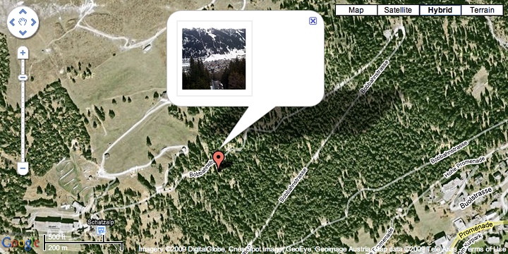
Geotagging (also written as GeoTagging) is the process of adding geographical identification metadata to various media such as a geotagged photograph or video, websites, SMS messages, QR Codes[1] or RSS feeds and is a form of geospatial metadata. This data usually consists of latitude and longitude coordinates, though they can also include altitude, bearing, distance, accuracy data, and place names. (source : Wikepedia)
Examples of photo/video uploading websites with geotagging ability
1. Panoramio (Photos only)
2. Flickr (Photos and Video)
3. Picasa – How to geotag in Picasa
3. Youtube (Video only)
Other cool geo-tagging based websites
1. Historypin – You can view and create a history-based multimedia map
2. Playbadger – You can view create a theme-based photo maps
3. MyblockNYC – You can view and upload videos on NYC blocks
4. Foursquare – Mobile app. You can check in to different places and earn points and compete with friends like a game!
In-class exercise
1.Present your last week’s assignment (your travel map).
2. Share your own map in Google Plus.
3. Import /export your maps.
Assignment
1. Gather your multimedia for your previous maps.
2. Pick 1~2 places in New York that is special to you. Write a story, take a photo or video of the place, and add a placemark in your map.

